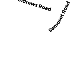
18 SAMOSET RD
Owner Information
GRESLA TIMOTHY R + JANIENE F
18 SAMOSET RD
WINCHESTER, MA 01890


Property Details
18 SAMOSET RD is classified as a Single Family Residential (Colonial).
The primary structure on this property was built in 2005. There are 4,300ft2 of built area within this property. There is 4,300ft2 of residential/living space within this property. This property is listed as having 9 rooms.
18 SAMOSET RD is valued at $1,386,000. The land is valued at $545,800 and the structures are valued at $840,200.
This property is in Zone RDB. Confirm with local Zoning Board authorities to ensure there are no overlays or other easements on this property.
18 SAMOSET RD was last sold on Wednesday, February 21, 2007 for $1,185,000.
Assessment data from fiscal year 2021.
Flood Data
According to the FEMA National Flood Hazard Layer, this property does not appear to be in a flood zone. It may also be in an area not yet reviewed. Nonetheless, confirm this information prior to taking any action.
To view the flood hazards around this property, create a FEMA "Firmette" Map of the area around 18 SAMOSET RD.
Broadband Internet Providers
| Provider | Type | Bandwidth (mbps) | |
|---|---|---|---|
| Comcast | Cable | 1000 | 35 |
| Viasat Inc | Satellite | 100 | 3 |
| Verizon New England Inc. | Fiber | 940 | 880 |
| Verizon New England Inc. | DSL | 5 | 0 |
| VSAT Systems, LLC. | Satellite | 2 | 1 |
| HughesNet | Satellite | 25 | 3 |
| GCI Communication Corp. | Satellite | 0 | 0 |
Broadband service provider data from December 2020.
Adjacent Properties
- 22 SAMOSET RD
Single Family Residential owned by ZHANG WINCHESTER NOMINEE TRUST - 19 AGAWAM RD
Single Family Residential owned by MURRAY PAUL D JR + KELLY A - 15 AGAWAM RD
Single Family Residential owned by UNGER KELLY + NORBERT S III - 16 SAMOSET RD
Single Family Residential owned by FARRA AMMAR F + KINDA SAKAL